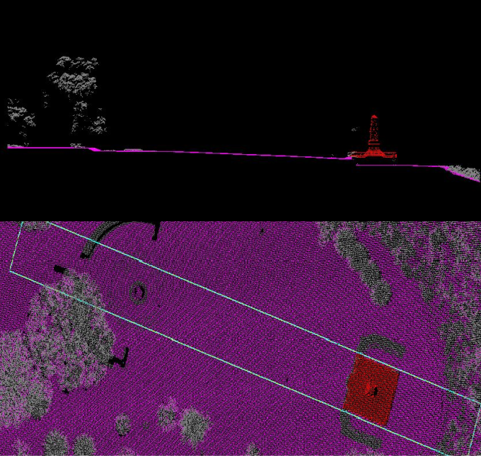
About our LiDAR dataset
Landgate’s LiDAR repository comprises of acquisitions since 2017, captured over specific areas of the state in support of various state-based initiatives.
Because these data acquisitions are made on behalf of other state government agencies, specifications such as feature classifications and point cloud densities will vary from project to project.
Landgate’s repository consists of topographic LiDAR only. (ie. Landgate does not hold any bathymetric LiDAR).
In some instances, derived Digital Elevation Models (DEMs) or contours may also be available.
Landgate’s LiDAR data can be used in:
- Land management (rehabilitation, benchmarking, erosion)
- Hazard management (landslides, earthquakes, floods, fires)
- Examining both natural and manmade environments
- Forestry (deforestation) and agriculture management
- Mining
- Creating digital twins
- Asset management (eg infrastructure corridor)
- Creating hi-resolution DEMs
Coverage
An indicative extent is shown below.
Supply format
LiDAR data is supplied in LAS (LASer) format. It is an open, binary format and regarded as the industry standard.
Data dictionary
How to access our integrated LiDAR data
Access options
1. Once-off data request
Request a one-time extract of the latest version of this dataset in a format that suits you.
| Up to 10km | 10 to 25km2 | 25 to 100km2 | X >100km2 | |
| Raw LiDAR (per sqkm) | $154.10 | $123.30 | $92.50 | $68.85 |
| Add derived DEM* (per sqkm) | $8.65 | $6.80 | $5.35 | $3.90 |
| Add derived contours* (per sqkm) | $8.65 | $6.80 | $5.35 | $3.90 |
*where available
Digital data extracts are subject to extraction and data costs. LiDAR extraction costs can vary based on factors such as extent and complexity. Please complete and return a request form for a formal quote.
Where a value-added derivative (eg DEMs) does not exist over your specific area of interest, a processing charge will apply if required.
Please see Licensing for conditions of use.
Need help?
You can contact our Customer Experience team on +61 (08) 9273 7683 or email CustomerExperience@Landgate.wa.gov.au for more information on our data and SLIP subscription services.