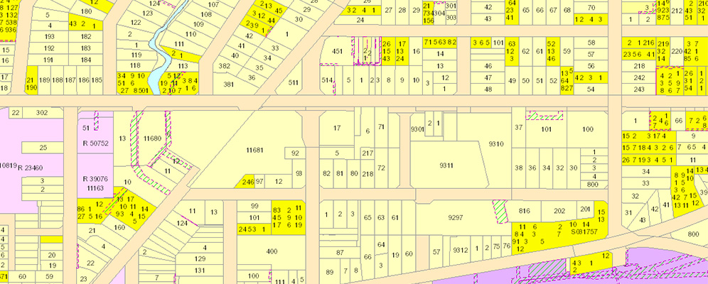
What is included?
Integrated Cad/Ten/PSA data gives you:
- cadastral polygons
- interest polygons
- building strata lots
- multi register lots
- street addressing (land parcel and strata)
- property ownership details (subject to privacy conditions).

Supply format
Shape files and File Geodatabase formats, SLIP - Web Services, API's and Data Downloads.
Data dictionaries
How to access our integrated CAD/Ten/PSA data
Access options
1. Once-off data request
Request one-time access to the latest version of this dataset in a format that suits you.
Request a one-time extract of the latest version of this dataset in a format that suits you.
If you wish to receive data supplied on a regular basis, please email Businesssolutions@landgate.wa.gov.au
Access much of our location information datasets 24/7 for as many of your team as required with our Shared Location Information Platform (SLIP). Find out if this platform is right for you.
Go to the SLIP subscription services
Subscribe to SLIP
Enter into a business agreement with Landgate and become a value-added reseller. Find out how to get started.
Need help?
You can contact our Business Solutions team on +61 (0)9273 7683 or email BusinessSolutions@landgate.wa.gov.au for more information on our data and SLIP subscription services.