-
 We have a range of mapping products and services available including printable topographic maps and dynamic online maps.
 -
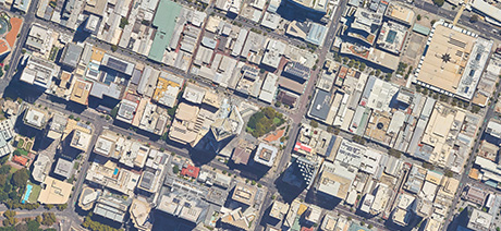
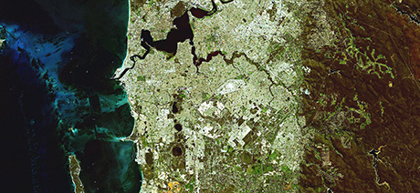 Discover how aerial and satellite imagery is acquired or captured to deliver innovative solutions to the public sector, business and the broader community.
 -
 Search through our wide range of datasets, maintained for use by government agencies, businesses clients and individuals.
 -
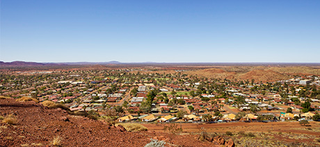 Learn about the importance of placenames and their links to Western Australia’s rich history, both ancient and contemporary.
 -
 Discover our range of programs and initiatives designed to enable all Western Australians to discover and access location data in innovative ways that benefit their businesses and their lives.
 -
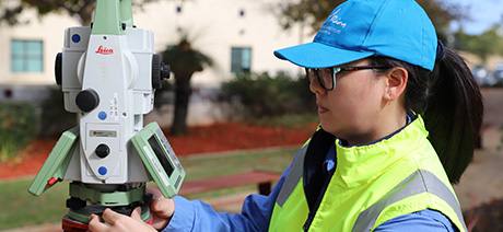 View the range of resources and data that we make available to licensed surveyors in Western Australia.